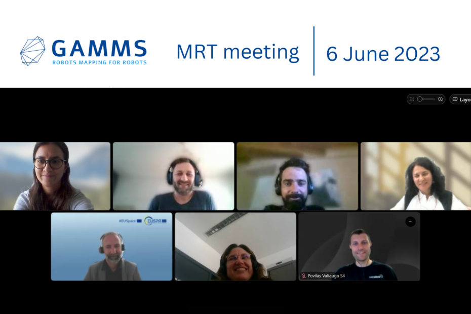
Welcome to an update on the GAMMS (Galileo/GNSS Autonomous Mobile Mapping System) project, a Horizon 2020 initiative focused on revolutionizing surveying and mapping through the development of an autonomous terrestrial mobile mapping system (AMMS). With the objective of generating high-definition (HD) base maps at reduced costs, GAMMS combines autonomous vehicle technology, navigation/geodetic systems, and artificial intelligence. Recently, the project held its midterm review meeting, where significant progress and achievements were discussed. Let’s dive into the advancements across the various work packages.
Work Package 1: Management
Geosat, the lead partner for Work Package 1, spearheaded the technical and administrative coordination of the project. They managed project reporting, and quality control of documents and data, and set up and maintained the project’s Document Management System and webpage. Geosat also conducted peer and quality reviews of deliverables, chaired meetings, and ensured a constant online presence through the project’s website, Twitter, and LinkedIn. The team developed a social media plan, including the addition of a special blog subsection on the project’s website. Furthermore, Enide released the first project video to showcase the progress and outcomes of GAMMS.
Work Package 2: Initial market, user and technology assessment
In Work Package 2, partners including Geosat, Enide, GeoNumerics, Sensible4, Solid Potato, Pildo, and EPFL were actively involved in engaging stakeholders and conducting market analysis. They collected user requirements through interviews with advisory board members and performed desk research on the state-of-the-art techniques and technologies in mobile mapping systems. Market screening was carried out to identify opportunities and challenges. The findings were compiled into deliverables such as the User Requirements document (D2.1), State of the Art document (D2.2), and Market Screening document (D2.3). The team also initiated work on the Feasibility Analysis (D2.4) to assess the project’s viability.
Work Package 3: High-level system architecture
In Work Package 3, the focus was on defining the high-level system architecture for the AMMS. Partners collaborated within the subsystems, holding bilateral technical workshops to enhance their understanding of the interconnections between different technologies. This resulted in the creation of two intermediate versions of the Architectural Design Document (ADD). The ADD provided a framework for the iterative development of the system, ensuring compatibility and integration.
Work Package 4: Detailed design and development
Work Package 4 saw significant advancements in hardware and algorithm development. A new hardware platform capable of processing triple frequency and accommodating an external CSAC was developed. Algorithms for measurements and least squares adjustment were successfully implemented and tested for specific signal types. The team achieved E6 tracking on a newly available hardware platform and developed features for Galileo orbit, clock, and ionospheric correction models. A multispectral laser scanning system was assembled and used for data collection at various test sites, enabling the preparation of a road wear map layer for the HD road map. Several crack detection methods were tested, and a scientific article on road distress detection with multispectral laser scanning data was prepared.
Work Package 5: System Integration
During the first period, Work Package 5 focused on assessing the integrability of each GAMMS subsystem within the defined framework. The results of this assessment were documented in the deliverable D5.1 – GAMMS Unitary Development, providing insights into the cohesive integration of the system components.
Work Package 6: System Testing and Validation
Work Package 6 involved the planning and execution of tests for the AMMS. Partners released the test planning for iteration 1 and iteration 2 and conducted the first measurements and tests for each subsystem. Intermediate versions of the test plan (D6.1) and test report with results’ analysis (D6.2) were prepared, ensuring thorough evaluation and validation of the developed system.
Work Package 7: Market Interaction
Work Package 7 focused on the exploitation and business models for the project’s outcomes. The team defined a methodology, conducted desk research, and organized an internal workshop to discuss existing and emerging HD map business models. A survey questionnaire was carried out, and interviews were conducted with map providers and potential clients. Value proposition canvas and lean canvas templates were used to evaluate the market potential of each exploitable result. The deliverable outlining the business models were finalized, providing a comprehensive understanding of the commercialization prospects for GAMMS.
Also, during the first periodic report, GAMMS was actively promoted in eight external events, including the ITS World Congress, NAIA.R, GoMobility, BIM World Paris, ITS European Congress, ISPRS, and the Young Surveyors Contest. These events provided platforms to showcase the project’s progress, exchange knowledge, and engage with industry professionals.
Work Package 8: Ethic requirements
Ethics considerations were an essential aspect of Work Package 8. The team produced deliverables focusing on ethics in non-EU countries, testing activities, anonymization of camera sensor data, handling of personal data, and test experiment procedures, ensuring compliance and ethical practices throughout the project.
Feedback and Future Considerations
The GAMMS project’s midterm review meeting demonstrated significant progress across multiple work packages. Partners actively contributed to project coordination, stakeholder engagement, system architecture development, hardware and algorithm advancements, system integrability assessment, testing and validation, exploitation planning, and ethics considerations. The project is on track to deliver an innovative autonomous mobile mapping system that will redefine surveying and mapping with high-definition base maps. With the commitment of partners and the notable achievements showcased, GAMMS is poised to shape the future of the industry and meet the market demands for accurate and cost-effective mapping solutions.
The project officer and experts actively participated in the midterm review meeting, providing valuable feedback and suggestions. They acknowledged the progress made thus far and raised questions to further improve the project’s outcomes. Commercialization of the solutions developed in GAMMS was emphasized, with an emphasis on ensuring alignment with market demands. HD maps are in high demand, and partners were encouraged to optimize their solutions accordingly.
GAMMS´ MISSION: The overall objective of GAMMS is to develop an autonomous terrestrial mobile mapping system (AMMS), based on the tight integration of: Autonomous vehicles (AVs), Navigation/geodetics, Artificial Intelligence (AI) technologie.
To get a closer insight into the GAMMS H2020 project, please join us via social media:
LinkedIn: @GAMMS-H2020
Twitter: @GAMMS_H2020