GAMMS Kick-off meeting
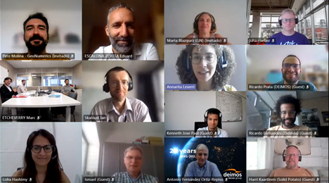
The eight European partners met online to lauch “Galileo/GNSS-based Autonomous Mobile Mapping System” (GAMMS) on 7th July 2021.
The project received a funding grant of €1+ million by the European Commission under the programme Horizon 2020 to exploit space data at the service of societal resilience and environment protection. It includes 8 work packages and covers a range of applications. After an overview by the coordinator GEOSAT, each work package leader presented their plan and mapped out next steps in the virtual meet-up.
Robots mapping for robots
GAMMS main innovation will be an autonomous terrestrial mobile mapping system (AMMS), based on the tight integration of autonomous vehicle (AV), navigation/geodetic, and artificial intelligence (AI) technologies. More specifically, we will develop:
- a mapping robot for geodata acquisition
- an AI-based highly automated mapping software to produce HD maps from the MMS remote sensing data.
Unlike today’s manned MMS whose cost is dominated by 2- to 3-people crews, we envision fleets of low-cost, autonomous, electrically-powered land vehicles, carrying mobile mapping systems (MMS) and collecting geodata in a massive, continuous way. Although we will develop geodata acquisition and processing techniques for general purposes, in GAMMS we focus on the rapidly growing market of the High Definition (HD) maps for the autonomous vehicles (AVs). Because of the enormous task of mapping the world roads for AVs, we will develop highly automated software to produce HD maps from the MMS remote sensing data. Because of the safety requirements of AVs, we will also develop map certification methods and quasi real-time, online techniques to continuously update the HD maps.
A keystone of GAMMS is the use of Galileo features and new services: navigation message authentication (NMA), high-accuracy service (HAS) and signal authentication. Galileo and our
trajectory determination methods enable the GAMMS concept.
Our market value proposition is the production of high-accuracy, high-reliable maps at a fraction of today’s cost.
What’s next?
The GAMMS members, from 5 different countries, come from the business and academic community and will work together for the 30 months for the replicability and sustainability of project results.
You can follow GAMMS on Linkedin and Twitter to keep updated with its next developments.